
Managing Flood Risks in Chicago's Real Estate Market
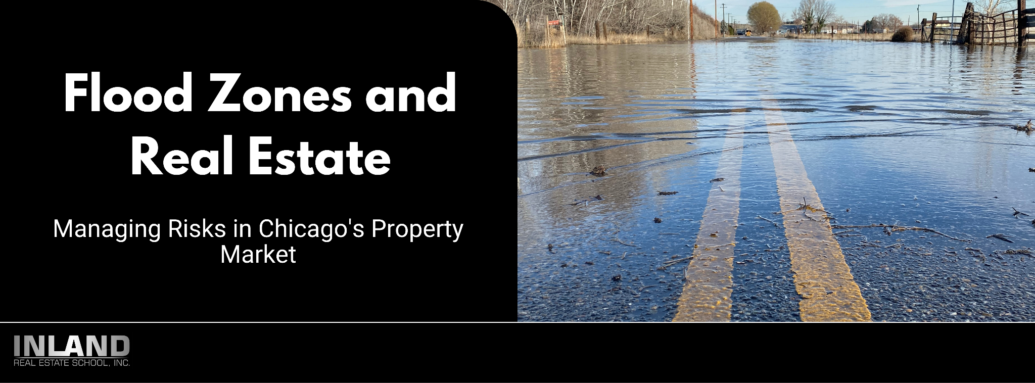
Flood Zones and Real Estate: Managing Risks in Chicago's Property Market
Introduction
In Chicago, a city renowned for its architectural marvels and sprawling urban landscape, flood risk has emerged as a significant concern in the real estate market. The topic of flood risk is not just a matter of environmental awareness but a crucial element in property market decisions. This blog delves into the intricacies of flood risks in Chicago, its impact on the real estate market, and the strategies for managing these risks. Understanding flood risk in Chicago is essential for buyers, sellers, investors, and policymakers, as it influences property values, insurance rates, and long-term urban planning.
Understanding Flood Risk in Chicago
The issue of flood risk in Chicago is more complex and widespread than commonly represented in Federal Emergency Management Agency (FEMA) maps. These maps, while crucial for urban planning and insurance purposes, often underrepresent the true extent of flood risk in the city. One of the primary overlooked risks is surface flooding, which occurs due to heavy rainfall overwhelming the drainage capacity of the urban landscape.
Limitations of FEMA Maps: FEMA's flood maps are traditionally used to guide insurance requirements and building regulations. However, they primarily focus on areas at risk of riverine flooding, often overlooking the risk posed by heavy rainfall and surface water accumulation.
Sources of Flood Risk in Chicago: In Chicago, the combined sewer system, designed to handle both sewage and stormwater, is a significant factor in flood risk. During heavy rainfall, these sewers can become overwhelmed, leading to surface flooding and sewage backups in basements. The urban landscape, with its high concentration of impervious surfaces like concrete and asphalt, exacerbates this issue by limiting natural water absorption.
Underestimated Flood Risk: Many areas in Chicago that are prone to flooding are not designated as high-risk zones on FEMA maps. This discrepancy can lead to inadequate preparation and protection for residents in these areas.
Understanding these aspects of flood risk is vital for a comprehensive assessment of the challenges facing Chicago's real estate market regarding flooding. Accurate risk assessment is critical for property owners, buyers, investors, and urban planners in making informed decisions.
The Mismatch in Flood Zone Designation
The disparity between actual flood risk and FEMA’s flood zone designations in Chicago is a critical issue, affecting how residents and city planners prepare for and respond to flood threats. Several factors contribute to this mismatch:
Combined Sewer System Limitations: Chicago’s combined sewer system, which handles both stormwater and sewage, is often overwhelmed during heavy rainfalls. This leads to frequent surface flooding, a type of flood risk not adequately captured in FEMA’s flood zone designations.
Outdated FEMA Maps: FEMA's flood maps in some parts of Chicago are outdated and don't accurately reflect current flood risks. These maps are crucial for determining flood insurance requirements and guiding development but may not consider recent urban development changes or climate patterns.
Urban Development and Impervious Surfaces: The extensive urban development in Chicago, characterized by impervious surfaces like concrete, exacerbates surface flooding. As rainwater can't permeate these surfaces to recharge groundwater, it accumulates on the surface, increasing flood risk in areas not designated as high-risk by FEMA.
Geographic and Topographical Factors: Certain areas of Chicago, due to their geographical and topographical features, are more prone to flooding than others. However, these local nuances may not be fully reflected in the broad categorizations of FEMA’s maps.
This mismatch in flood zone designation is not just an administrative issue; it has real-world implications for property values, insurance premiums, and urban planning strategies. Recognizing and addressing these discrepancies is essential for effective flood risk management in Chicago.
Impact of Climate Change and Urban Development
The increased flood risk in Chicago is significantly impacted by two major factors: climate change and urban development. These elements work in tandem to exacerbate the city's susceptibility to flooding.
Climate Change Effects: Climate change has led to more frequent and severe weather events, including heavier rainfall. In Chicago, this means that storms that were once considered rare are now more common, overwhelming the city’s infrastructure and increasing the risk of flooding. The changing climate patterns contribute to unpredictable and extreme weather conditions, making it challenging to manage flood risks effectively.
Urban Development Impacts: The urban development in Chicago, particularly the increase in impervious surfaces like concrete and asphalt, compounds the city’s flood risk. These surfaces prevent water from being absorbed into the ground, leading to higher volumes of runoff during heavy rains. This runoff can overwhelm drainage systems, leading to surface flooding.
Compounding Effects: The combination of more frequent heavy rainfall due to climate change and the increase in impervious surfaces from urban development creates a compounding effect. This scenario increases the volume and frequency of flooding, putting more properties at risk and straining existing flood mitigation infrastructure.
Future Projections: As urban development continues and climate change progresses, these challenges are expected to intensify. This necessitates proactive planning and adaptation strategies to mitigate the increasing flood risks.
Understanding the interplay between climate change and urban development is crucial for developing effective strategies to manage flood risks in Chicago. This insight is vital for city planners, property owners, and residents to prepare for and adapt to the evolving flood risk landscape.
Alternative Flood Risk Assessments
In addressing the limitations of FEMA's flood risk assessment in Chicago, alternative approaches, such as the assessment conducted by the First Street Foundation, offer a more nuanced view of the city's flood risk.
First Street Foundation’s Assessment: This assessment presents a stark contrast to FEMA's findings, suggesting that a significantly higher percentage of properties in Chicago are at risk of flooding. Unlike FEMA's maps, the First Street Foundation’s model incorporates data on surface flooding and other risk factors that are often overlooked.
Methodology and Inclusion of Surface-Flood Risk: The First Street Foundation utilizes advanced modeling techniques that factor in changing climate patterns, urban development, and the city’s specific geographic and topographical features. Their methodology includes assessing surface-flood risk, which is particularly relevant in urban settings like Chicago with extensive impervious surfaces.
Implications for Property Owners and Buyers: This alternative assessment provides critical information for property owners, buyers, and urban planners. It highlights the need for comprehensive flood risk evaluation, beyond what FEMA maps may indicate, especially in areas prone to surface flooding.
Influence on Real Estate and Urban Planning: The insights from the First Street Foundation’s assessment could have significant implications for real estate decisions and urban planning in Chicago. Properties identified as high-risk may see impacts on their value, insurance premiums, and attractiveness to buyers, while city planners might need to rethink infrastructure and flood mitigation strategies.
The First Street Foundation’s assessment underscores the importance of considering a wide range of data and risk factors in flood risk evaluation, particularly in complex urban environments like Chicago. It highlights the necessity for ongoing evaluation and adaptation in managing flood risks in the face of changing environmental and urban conditions.
Economic and Health Impacts
The economic and health impacts of flooding in Chicago are significant and multifaceted, affecting both individuals and the broader community:
Economic Costs of Flooding: The direct economic costs include damage to property infrastructure, such as foundations, basements, and essential home utilities. Flooding can lead to costly repairs and renovations, often not covered by standard insurance policies. For businesses, flooding can result in lost inventory, operational disruptions, and decreased customer access.
Impact on Property Values: Areas frequently affected by flooding may experience a decline in property values. The risk of flooding can make these areas less attractive to potential buyers, leading to longer sale times and reduced prices.
Mental Health Stress: The psychological impact of flooding on residents is a significant concern. The stress and anxiety associated with flood events, the potential loss of personal belongings, and the uncertainty of future flooding can have lasting mental health effects.
Public Health Risks: Flooding can pose public health risks, including the spread of waterborne diseases and mold growth in homes, which can lead to respiratory issues and other health problems.
Insurance and Financial Strain: For homeowners, dealing with the aftermath of a flood can be financially straining. The cost of repairs, coupled with the potential increase in flood insurance premiums, can put a significant financial burden on affected residents.
Community and Infrastructure Strain: Widespread flooding can strain public resources and infrastructure, stretching emergency services, and necessitating substantial public expenditure on recovery and mitigation efforts.
These impacts highlight the need for effective flood risk management and mitigation strategies in Chicago. Addressing the economic and health repercussions of flooding is crucial for building a resilient city that can withstand the challenges posed by these natural events.
Flood Mitigation Efforts in Chicago
Chicago is actively implementing flood mitigation efforts to address its increasing flood risk. These initiatives aim to reduce the impact of flooding on properties and improve the city's resilience:
Green Stormwater Infrastructure: Chicago is investing in green stormwater infrastructure to manage surface runoff more effectively. This includes the implementation of green roofs, rain gardens, and permeable pavements, which help absorb and redirect rainwater, reducing the burden on the sewer system.
Upgrading Sewer Systems: Efforts are being made to upgrade the city's combined sewer system to better handle heavy rainfall events. This includes expanding sewer capacity and improving sewage treatment processes to minimize the risk of overflow and subsequent flooding.
Community Flood Management Programs: The city is also engaging in community-level flood management programs. These involve educating residents about flood risks and preparedness, offering subsidies for flood-proofing homes, and implementing local drainage improvements.
Floodplain Management and Restoration: Restoring and managing natural floodplains is another strategy being employed. This approach leverages the natural ability of these areas to absorb excess water, thus reducing flood risks downstream.
Regulatory Measures: Chicago is revising building codes and land-use policies to minimize flood risk. This includes regulations on new developments in flood-prone areas and incentives for adopting flood-resilient building practices.
Collaboration with Research Institutions and Agencies: The city is collaborating with research institutions and federal agencies to better understand flood risks and develop comprehensive mitigation strategies. This includes using advanced modeling techniques to predict flood scenarios and plan accordingly.
These efforts represent a multi-faceted approach to flood risk management in Chicago, combining infrastructure upgrades, green initiatives, community engagement, and policy changes. By implementing these strategies, the city aims to mitigate the impacts of flooding and safeguard its residents and properties.
Real Estate Implications
The presence and risk of flooding in Chicago have several implications for the real estate market, affecting buyers, sellers, and investors:
Impact on Property Values: Properties in flood-prone areas may see a decrease in value due to the increased risk. Prospective buyers often factor in the potential for flooding when considering a purchase, which can influence their decision and the price they are willing to pay.
Insurance Costs and Availability: Properties in designated flood zones typically require flood insurance, which can be costly. The increased risk of flooding in areas not previously designated as flood zones may also lead to changes in insurance requirements and costs, impacting both current homeowners and potential buyers.
Disclosure Requirements: Sellers in Chicago are required to disclose known flood risks to potential buyers. This transparency is crucial but can also impact the sale process and property value.
Buyer Due Diligence: Buyers need to be diligent in researching flood risks. This includes reviewing flood maps, understanding local drainage systems, and potentially seeking alternative flood risk assessments to make informed decisions.
Investment Considerations: Investors in the real estate market need to weigh the risks associated with flooding. Properties in high-risk areas might offer lower prices but come with additional challenges, including potential damage and higher maintenance costs.
Mitigation and Resilience Measures: Properties with flood mitigation measures, such as raised foundations, flood barriers, or sump pumps, may be more attractive to buyers. Investing in these measures can protect the property and potentially increase its value.
Long-term Urban Planning: The real estate market will likely be influenced by Chicago's long-term urban planning and flood mitigation strategies. Developments that incorporate flood resilience and green infrastructure may become more sought after.
Navigating flood risks in Chicago's real estate market requires careful consideration and informed decision-making. For all parties involved, understanding these risks and the measures in place to mitigate them is key to managing investments and protecting property values.
Conclusion
In summary, "Flood Zones and Real Estate: Managing Risks in Chicago's Property Market" delves into a critical issue confronting Chicago's real estate landscape. The exploration of flood risks in the city, particularly those underrepresented in FEMA maps, reveals a complex challenge that intertwines environmental, urban planning, and real estate considerations. The mismatch between actual flood risks and FEMA’s designated flood zones, exacerbated by factors like the city’s combined sewer system and outdated maps, highlights the need for more comprehensive and localized flood risk assessments.
The impact of climate change and urban development further intensifies this challenge, contributing to the increasing frequency and severity of flooding events. Alternative assessments, such as those provided by the First Street Foundation, offer a more detailed understanding of these risks, crucial for property owners, buyers, and urban planners in making informed decisions.
Economically, the repercussions of flooding extend beyond immediate property damage to influence overall property values, insurance premiums, and investment decisions. Health-wise, the stress and public health risks associated with flooding events cannot be overlooked. Chicago’s initiatives in green stormwater infrastructure and flood mitigation are steps in the right direction, reflecting a city striving to adapt and protect its urban environment and its residents.
For real estate professionals, understanding and navigating these flood risks is essential. It involves thorough due diligence, consideration of insurance and mitigation measures, and staying informed about urban planning developments and policies. Accurate flood risk assessment and effective mitigation strategies are indispensable tools in managing real estate risks in a city like Chicago, known for its architectural beauty and economic vibrancy but also facing the realities of its geographical and environmental challenges.

WE OFFER OVER
25+
PROGRAMS
WE HAVE SERVED
12000+
STUDENTS
VETERAN STAFF
40+ Years
INDUSTRY EXPERIENCE
PROUDLY PROVIDING
23+ Years
OF EDUCATION
INLAND REAL ESTATE SCHOOL, INC. SUPPORTS


Follow Us:


Campus Visiting Hours by appointment only:
1st-18th each month AM times, M-F
19th-end of the month PM times, M-F
Visiting hours need to be scheduled in advance
OAK BROOK, ILLINOIS 60523. © INLAND REAL ESTATE SCHOOL, INC. A PROFESSIONAL STUDIES INSTITUTE, INC. COMPANY, 2010. ALL RIGHTS RESERVED.
NOT AFFILIATED WITH THE INLAND REAL ESTATE GROUP OF COMPANIES, INC. THE INLAND NAME IS USED UNDER LICENSE. Privacy Policy